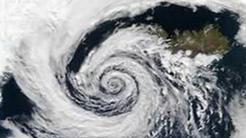
The India Meteorological Department (IMD) today, November 28, said that the deep depression over Southwest Bay of Bengal has moved northwards with a speed of 2 kmph during past six hours and is located near latitude 9.1°N and longitude 82.1°E, about 110 km east-northeast of Trincomalee. The weather agency also said that the deep depression is likely to develop into a cyclonic storm soon. As per the latest weather update by IMD, there is a possibility of marginal intensification of the deep depression developing into a cyclonic storm over southwest Bay of Bengal during the evening of November 28 to the morning of November 29. IMD further stated that "Cycline Fengal" is likely to cross north Tamil Nadu and Puducherry coasts between Karaikal and Mahabalipuram on the morning of November 30 as a deep depression with a wind speed of 50-60 kmph gusting to 70 kmph.The weather agency has issued heavy rainfall warning for Tamil Nadu and Puducherry. According to the forecast, heavy to very heavy rainfall at isolated places is likely over north Tamil Nadu and Puducherry on November 29 and 30. Similarly, light to moderate rainfall is expected at many places with heavy rainfall at isolated places over south coastal Andhra Pradesh and Rayalaseema on November 29 and 30. Cyclone Fengal Alert: Indian Navy Prepares Disaster Response Plan for Relief Operations As Cyclone Intensifies in Bay of Bengal.
Marginal Intensification of Deep Depression Into Cyclonic Storm, Says IMD
Deep Depression over Southwest Bay of Bengal moved northwards with a speed of 2 kmph during past 06 hours located near latitude 9.1°N and longitude 82.1°E, about 110 km east-northeast of Trincomalee.
To cross north Tamil Nadu-Puducherry coasts between Karaikal and Mahabalipuram… pic.twitter.com/lk979hciJZ
— India Meteorological Department (@Indiametdept) November 28, 2024
Cyclone Fengal Live Tracker Map on Windy
(SocialLY brings you all the latest breaking news, viral trends and information from social media world, including Twitter, Instagram and Youtube. The above post is embeded directly from the user's social media account and LatestLY Staff may not have modified or edited the content body. The views and facts appearing in the social media post do not reflect the opinions of LatestLY, also LatestLY does not assume any responsibility or liability for the same.)


 Quickly


