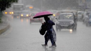
New Delhi, October 9: A low-pressure area formed over north Andaman Sea is likely to intensify into a depression and move towards the east coast, bringing heavy rainfall from Odisha to Andhra Pradesh and Karnataka and Telangana on Sunday and Monday, the IMD has warned.
It said the low-pressure area formed this morning and is likely to turn into a depression in the next 24 hours. A low-pressure area is the first stage of any cyclone but it is not necessary that every low-pressure area intensifies into a cyclone. However, cyclones usually form in the Bay of Bengal and batter the east coast in October. Southwest Monsoon Withdrawn From Most Parts of Rajasthan, Uttar Pradesh and Madhya Pradesh, Rainfall Activity Ceased, Says IMD.
Under the influence of this low-pressure area and the resultant cyclonic circulation, light-to-moderate rainfall is likely at most places with heavy (6.5-12 cm) falls at isolated places over Andaman & Nicobar Islands on Friday and Saturday.
From Saturday, rainfall will also lash Odisha, coastal Andhra Pradesh, Telangana, Rayalaseema, interior Karnataka and Marathwada. It will intensify in the areas except for Rayalaseema on Sunday and Monday, the India Meteorological Department said. The sea is also expected to be rough. Monsoon 2020 Could End in Normal to Above Normal Category, Says IMD.
Fishermen are advised not to venture into the Andaman Sea and east-central Bay of Bengal on October 9-10, along and off Odisha, Andhra Pradesh, Tamil Nadu and Puducherry coasts and over Gulf of Mannar from early Sunday till Monday forenoon.
"Fishermen out at sea in the Bay of Bengal are advised to return to the coast," the IMD said in a statement.


 Quickly


